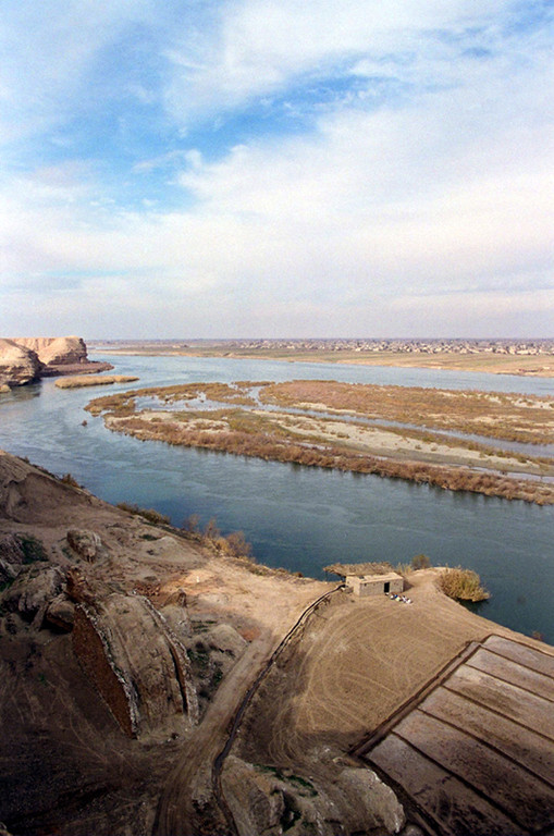
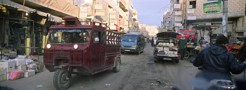
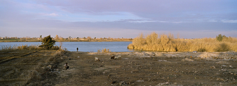
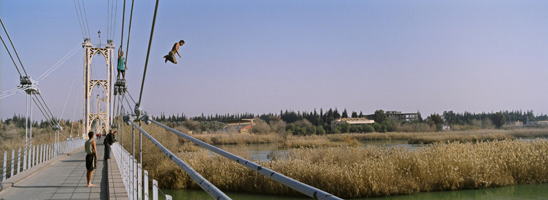
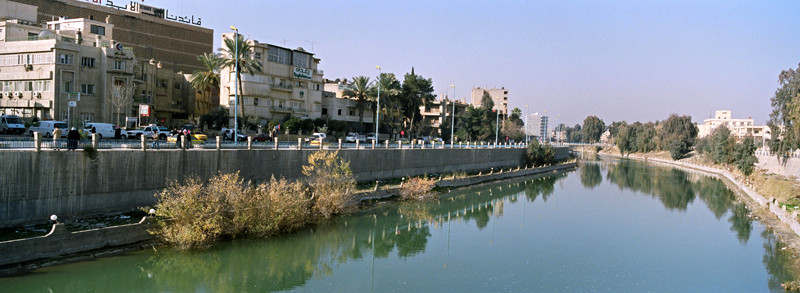
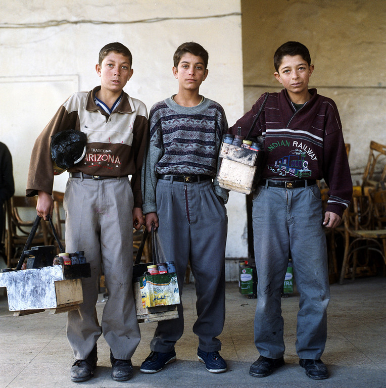
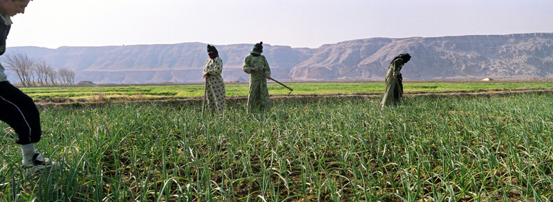
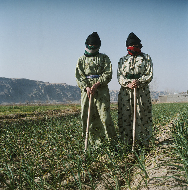
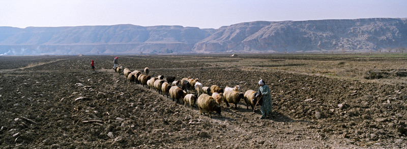
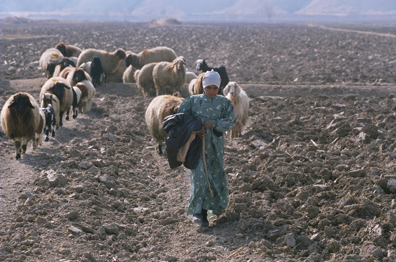
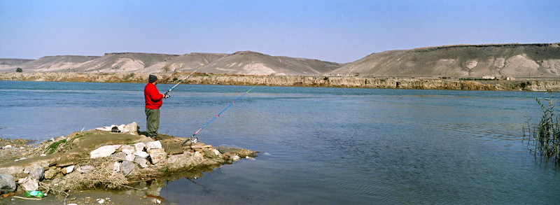
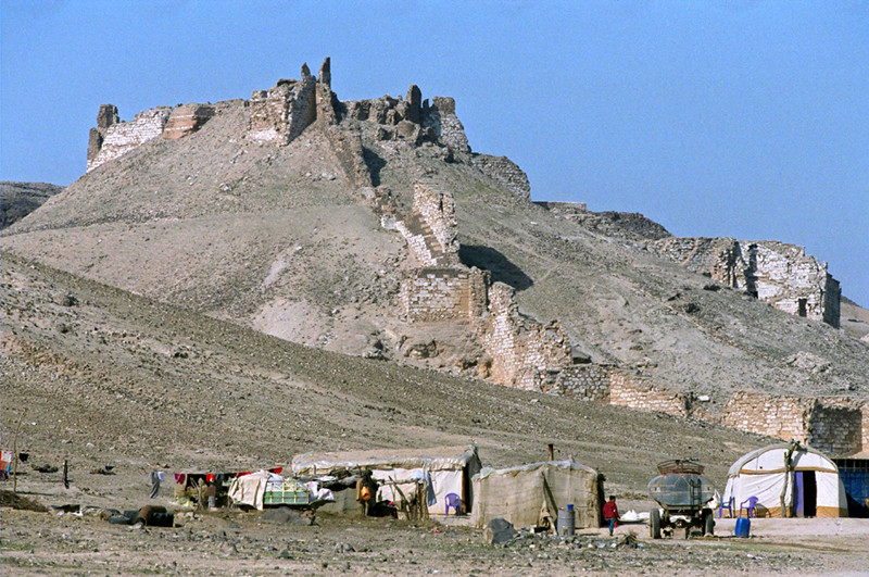
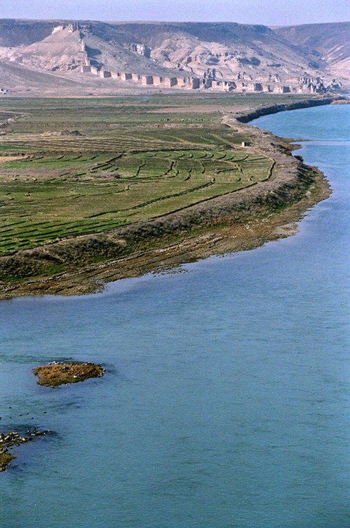
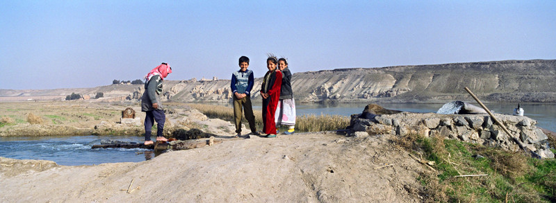
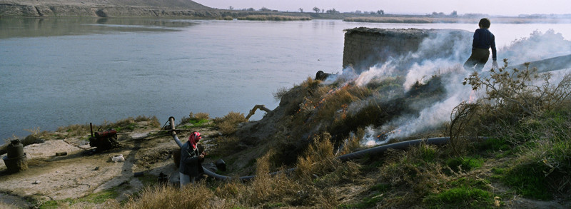
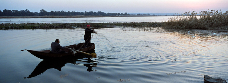
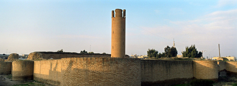
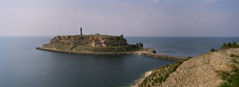
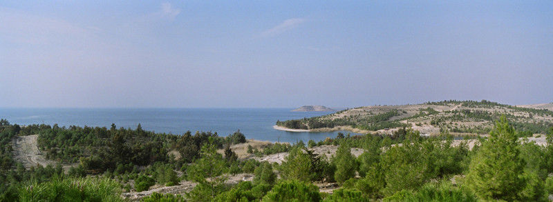
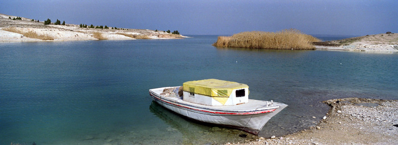
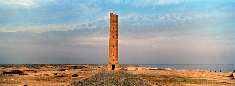
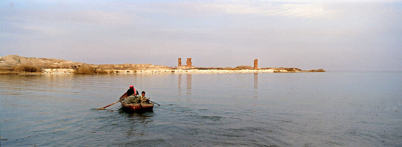
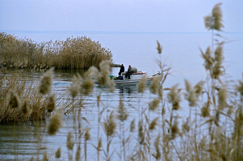
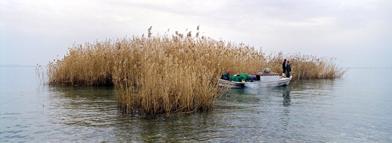
Syria - along the Euphrates river


The Euphrates (Arabic: الفرات: al-Furāt, Hebrew: פרת: Prat, Turkish: Fırat, Kurdish: Firat) is the longest and one of the most historically important rivers of Western Asia. Together with the Tigris, it is one of the two defining rivers of Mesopotamia. Originating in eastern Turkey, the Euphrates flows through Syria and Iraq to join the Tigris in the Shatt al-Arab, which empties into the Persian Gulf.
The Ancient Greek form Euphrátēs (Ancient Greek: Εὐφράτης) was borrowed from Old Persian Ufrātu itself from Elamite ú-ip-ra-tu-iš. In
Akkadian the river was similarly called Purattu which has been perpetuated in Semitic languages (cf. Syriac P(ə)rāṯ, Arabic al-Furrāt) and in other nearby languages of the time (cf. Hurrian Puranti,
Sabarian Uruttu). The Elamite, Akkadian, and possibly Sumerian forms are from an unrecorded substrate language.
The earliest references to the Euphrates come from cuneiform texts found in Shuruppak and pre-Sargonic Nippur in southern Iraq and date to the mid-3rd millennium BCE. In
these texts, written in Sumerian, the Euphrates is called Buranuna (logographic: UD.KIB.NUN). The name could also be written KIB.NUN.(NA) or dKIB.NUN, with the prefix "d" indicating that the river
was a divinity. In Sumerian, the name of the city of Sippar in modern-day Iraq was also a written UD.KIB.NUN, indicating a historically strong relationship between the city and the river.
The Euphrates is the longest river of Western Asia. It emerges from the confluence of the Kara Su or Western Euphrates (450 kilometres
(280 mi)) and the Murat Su or Eastern Euphrates (650 kilometres (400 mi)) 10 kilometres (6.2 mi) upstream from the town of Keban in southeastern Turkey. Daoudy and Frenken put the length of the
Euphrates from the source of the Murat River to the confluence with the Tigris at 3,000 kilometres (1,900 mi), of which 1,230 kilometres (760 mi) falls in Turkey, 710 kilometres (440 mi) in Syria and
1,060 kilometres (660 mi) in Iraq. The same figures are given by Isaev and Mikhailova. The length of the Shatt al-Arab, which connects the Euphrates and the Tigris with the Persian Gulf, is given by
various sources as 145–195 kilometres (90–121 mi).
Both the Kara Su and the Murat Su rise northwest from Lake Van at elevations of 3,290 metres (10,790 ft) and 3,520 metres (11,550 ft) amsl, respectively. At the location
of the Keban Dam, the two rivers, now combined into the Euphrates, have dropped to an elevation of 693 metres (2,274 ft) amsl. From Keban to the Syrian–Turkish border, the river drops another 368
metres (1,207 ft) over a distance of less than 600 kilometres (370 mi). Once the Euphrates enters the Upper Mesopotamian plains, its grade drops significantly; within Syria the river falls 163 metres
(535 ft) while over the last stretch between Hīt and the Shatt al-Arab the river drops only 55 metres (180 ft).
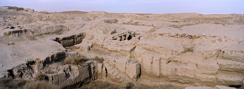
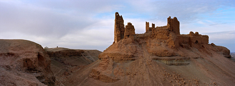
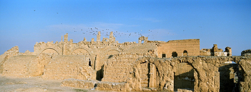
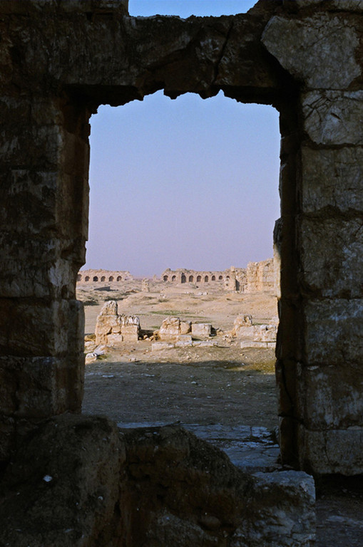
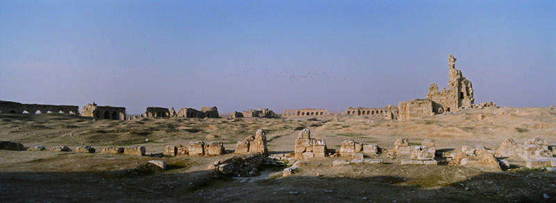
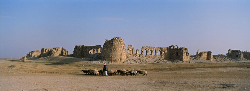
During the Jemdet Nasr and Early Dynastic periods (3100–2350 BC), southern Mesopotamia experienced a growth in the number and size of settlements, suggesting strong population growth. These settlements, including sites like Sippar, Uruk and Kish, were organized in competing city-states. Many of these cities were located along canals of the Euphrates and the Tigris that have since dried up, but that can still be identified from remote sensing imagery. A similar development took place in Upper Mesopotamia, although only in the second part of the 3rd millennium and on a smaller scale than in Lower Mesopotamia. Sites like Mari and Tell Leilan grew to prominence for the first time during this period. Large parts of the Euphrates basin were for the first time united under a single ruler during the Akkadian and Ur III empires, which controlled – either directly or indirectly through vassals – large parts of modern-day Iraq and northeastern Syria. Following their collapse, Mari asserted its power over northeast Syria while southern Mesopotamia was controlled by city-states like Isin and Larsa before their territories were absorbed by Babylon under Hammurabi in the 18th century BC. In the second half of the 2nd millennium BC, the Euphrates basin was divided between Kassite Babylon in the south and Mitanni in the north, with the latter being eventually replaced by Assyria and the Hittite Empire. Following the collapse of the Hittite Empire and the reduction in power of Assyria and Babylonia during the 12th century BC, struggles broke out between Babylonia and Assyria over the control of the Iraqi Euphrates basin. The Neo-Assyrian Empire eventually emerged victorious out of this conflict and also succeeded in gaining control of the northern Euphrates basin in the first half of the 1st millennium BC. In the centuries to come, control of the wider Euphrates basin shifted from the Neo-Assyrian Empire to the Neo-Babylonian Empire in the 7th century and to the Achaemenids in the 6th century BC. The Achaemenid Empire was in turn overrun by Alexander the Great, who defeated the last king Darius III and died in Babylon in 323 BC. For several centuries, the river formed the eastern limit of effective Egyptian and Roman control and western regions of the Persian Empire.